
This post is part of the so called “Greek Series”, consisting of photographies shot during my backpacking adventure in September 2013. You’ll find a basic introduction to the series here. The following pictures are from our first respectively second day of traveling the Peloponnes. We went from Corinth to Acrocorinth and then via the highway in direction Nafplio to Mycenae. I’ll include a map at the end of the post. So the first batch of pictures was taken on Acrocorinth, consisting of panorama shots mostly. The last three pictures are from the archeological sight of ancient Mycanae.
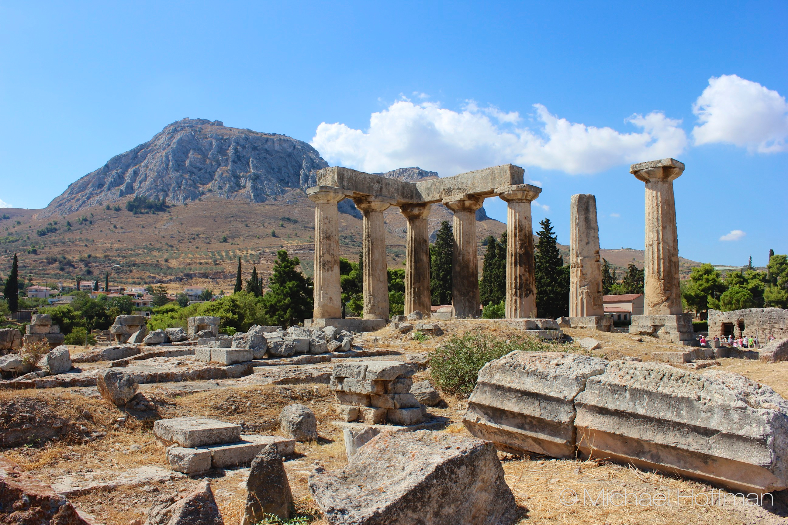
Acrocorinth (meaning High Corinth) is the hill you saw in the background of the pictures from Archea Corinthia, itself close to the modern city (picture 4). It’s a giant stone basically with the remains of a large medieval fortress on top. Having a perfect view on the narrow Isthmus of Corinth (picture 2), the…
View original post 269 more words

Leave a comment